The Philosophy of a Universal Geospatial Model
Our vision for a universally capable model for spatial and geospatial reasoning



March 30, 2026

A Universal Geospatial Model (UGM) is our ultimate engineering objective, the AGI for the physical world. Building it forces questions that don't have definitive answers yet. This post outlines why we’re building towards a UGM, what it should be, and the research paths that could take us there.
How do we define a UGM
A UGM, in application, unifies the geographic and anthropological intelligence of a Large Geospatial Model, with the Spatial intelligence of 3D scene / Spatial models. A singular AI model that can apply fine-grained intelligence and general intuition from macro scale earth reasoning tasks, to detailed, chemical and physics based topics. A universal understanding of intimate spaces and of planet-scale questions.
An incredibly strong model, a UGM, would vastly expand the production possibilities in areas including but not limited to embodied AI use-cases in robotics, AR/MR, autonomous driving and logistics, cartography, critical minerals discovery, VPS/GPS, market-research, defense and military industries, defense physical AI use-cases, video game environments, consumer exploration applications and the GIS industry as a whole; which includes:
- Residential Real Estate
- Commercial Real Estate
- Disaster Response and Prevention
- Defense & Military
- Agriculture
- Police & security
- Environmental & Habitat Research
- Academic Research
- Urban Planning & Infrastructure
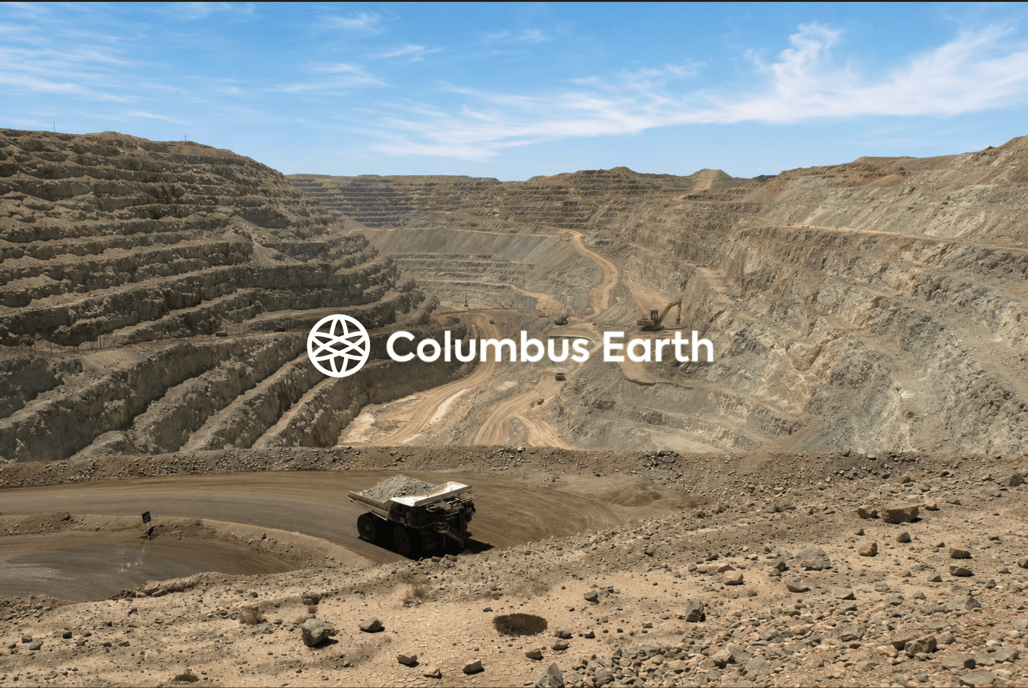
- Critical Minerals Exploration & Discovery
- Market Research & Geomarketing
- Logistics
- Economic & Environmental Policy
- Demographic Study & Policy
Why a UGM makes sense
Across research networks, we see a number of hyper-spectral earth observation foundation models. From IBM to Deepmind research, teams have trained foundation models on a domain-specific set of satellite geo-chemistry Earth observation. It is like building a language model for a single domain of expertise, history, for example. This requires individual training for each expertise domain and modality. However, in real life, the best human brains consider information and concepts across disciplines to arrive at creative insights. GPT changed machine learning exactly because it was a generalist. The geospatial realm needs its generalist too; one model, at scale, that reasons across hyper-detailed domains. Scaling also makes this cheaper in theory than training many specialized models. While a Large Geospatial Model can reason across most geographic domains, a universal one would intuitively reason across any geography and physics-based spatial tasks.
Philosophy for a UGM
Our thought experiments start with defining constraints that language models never face: everything is bound to a specific surface area of Earth. A surface area is a constant mathematical parameter, but nothing else about a place is constant. From an anthropological standpoint, the relative importance humans assign to a place's various attributes shift and geographically, the physics and mechanics of what happens inside a space change across time, and motion. For instance, a city square at 8 a.m. on a dry Tuesday is not the same object as the same square at midnight in the rain. So the model we want is, in a sense, a fuzzy, shapeshifting one: it doesn't try to force a square peg into a round hole. Instead, both ends of the equation are dynamic, the square peg and the round hole could change shape in relation to each other.
Architectural research angles toward a UGM
In our conceptualization of a UGM, we considered two main paths to get to our end goal:
One perspective is big-data. Collect enough well-labeled ground truth about enough of the Earth, and a sufficiently large model will learn the latent representations of places the way an LLM learned the structure of text. This is the brute scaling route, and it works in proportion to your data. Specific model architecture has not been defined for the UGM, but we’ve been interested in exploring an architecture inspired by World Foundation Model JEPA’s fundamental principles.
Another perspective is the semantic-reasoning route, mimicking an "expert's mind." An expert geologist did not learn the entire planet, physics, and chemistry. Yet environmental rules apply everywhere. If you understand a set of patterns in nature, you can look at a patch of data anywhere and reason about it. Humans could learn abstract and complex concepts in an afternoon with a single book, forming an understanding from a small set of data. This is the architecture that is to be mimicked. This perspective is promising because it could increase data-efficiency – in other words, decrease the sheer amount of training time and data required, replacing raw data quantity with principled understanding, semantic reasoning, and intuition. To be clear, data quality and digestion would remain critical for this route.
This architecture has precedent in the recent work of Yann LeCun’s JEPA models, which is the leading architecture behind World Foundation Models. Access the papers here:
- LeCun (2022), A Path Towards Autonomous Machine Intelligence. Foundational position paper introducing Joint-Embedding Predictive Architectures (JEPA) and world models as a path toward machines that learn abstract representations, predict in representation space, and plan through internal models of the world.
- Nam et al. (2026), Causal-JEPA: Learning World Models through Object-Level Latent Masking. Introduces an object-centric JEPA world model that learns interaction-dependent dynamics through object-level latent masking, providing precedent for learning structured representations of environments that support relational reasoning, counterfactual prediction, and planning
- Daithankar et al. (2026), You Don't Need Strong Assumptions: Visual Representation Learning via Temporal Differences. Introduces Temporal Difference in Vision (TDV), a self-supervised learning paradigm that learns visual representations from video without relying on augmentations, masking, or cropping.
We are honest about the important caveat here and a colleague pushed back on the second route with a good objection: a human expert's brain has, in fact, taken in an enormous amount of data over a lifetime to become as intuitive as it is. Therefore, perhaps a high-fidelity, universal understanding of Earth does require all the high quality data you can get, and the principled, semantic reasoning is what lets you use it efficiently.
Similarity with JEPA Models
This is also why we are drawn to architectures that reason in representation space rather than in raw output. Yann LeCun’s and Meta FAIR (Fundamental AI Research) joint-embedding predictive architectures, or JEPA, are built on this premise: instead of predicting every pixel of the future, predict an embedding of it, an abstract representation that captures the essence of what's there.
The JEPA research papers lends support to our direction. It also adds merit to an intuition we kept returning to: consider an instance, where you take in a whole region at once, you don't reconstruct every detail. You form a kind of Gaussian blur, or, a fuzzy but accurate sense of what's roughly happening in this region (“what’s represented in this polygon shape area”). The goal is to render the world in detail while being able to understand it well enough to answer a broad range of highly complex questions.
These are a few principles that guide our research. To be clear, these serve as working hypotheses:
- Know what and who are there first, then reason about the temporal and adversarial effects (e.g. weather, conflict, human interference) on it.
- Learn the rules of the ‘game’ and the recipes for how things happen, so the model can infer rather than only recall. (Read our article on Earth Recipes)
- Mitigation of hallucination. We wonder whether non-probabilistic algorithms could serve to be used in multi-agent architectures, where deterministic algorithms are used for appropriate tasks in the workflow.
- Understand how humans understand their space. Depth, distance, the mathematics of three dimensions, and apply that intuition to novel unseen environments.
- Build AI that critically thinks. Applied and creative thinking, as opposed to only pattern-matching over statistics.
These are the guiding research principles and thought experiments we’re exploring.
If these are questions that interest you, we’d love to have you on the team.